Firefighters Hoping For More Low Temp Rainy Days
Firefighters say the weather has helped them in the battle against the Schneider Springs Fire. However the fire is still at 17%.
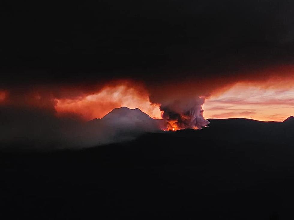
FIREFIGHTERS SAY THE WEATHER RESULTED IN MINIMAL FIRE ACTIVITY
Officials with the Okanogan-Wenatchee National Forest say the fire grew from 99,398 acres Friday to 101,633 Sunday. Firefighters are hoping for full containment by October 1 but the fight continues until that date.
A press release says on Saturday firefighters continued to "work to secure line and slow fire spread around Edgar Rock. Firing operations along the trail to Burnt Mountain were completed. Mop-up and repair work continued throughout the southern half of the fire."
MORE HELP FROM MOTHER NATURE ON SUNDAY
Sunday firefighters say they expect some wind in the area of the fire but cooler temperatures and higher relative humidity is expected to result in minimal fire behavior. "Firefighting priorities are to establish an effective fire line north of Lost Creek (using the 1709 and 1706 road system), hoselays and fuel reduction work around structures in preparation for fire threat in the Cliffdell and Lost Creek communities, and establishing a fuel break to the west of the Goose Prairie area. "
HUNDREDS OF PEOPLE ARE STILL ON THE FIRE LINES
There's a lot of people and resources on the fire. 671 resources
Crews (13); Engines (36); Dozers (7); Air Resources (8); Other Heavy Equipment (29)
Evacuation levels have changed;
All LEVEL 3 evacuation orders were changed to LEVEL 2 on Sunday afternoon. That means the LEVEL 2 for Bumping River Road from north to south; all of Old River Road (NF1704), including Jefferson Road, Lost Creek Road (NF311), Wapiti Run Lane, Linker Lane and Fontain Lane;
LEVEL 2 evacuations remain the same for East of the Naches River from the intersection of Little Naches Road and Hwy 410 to Pinecliff; LEVEL 1: Hwy 410 from Pinecliff to the junction of U.S. Route 12, and from U.S. 12 at Hwy 410 west to Tieton Reservior Rd. See map at Yakima County Office of Emergency Management: https://www.facebook.com/YakimaCountyOEM. Sign up for alerts at Yakima County geo-specific emergency alert system: www.yakimacounty.us/2222/Alert-Yakima.
Closures: A fire area closure order for National Forest System lands on the Naches Ranger District is in effect. The closure order and map are available at https://go.usa.gov/xMcuX. There is also a temporary closure of all Washington Department of Natural Resources managed lands in the fire area. Learn more: https://www.dnr.wa.gov/dnr-closure-eastern-2021
KEEP READING: Here are the best places to retire in America

More From 92.9 The Bull