When Will Schneider Springs Be Controlled? Firefighters Hope It’s Soon
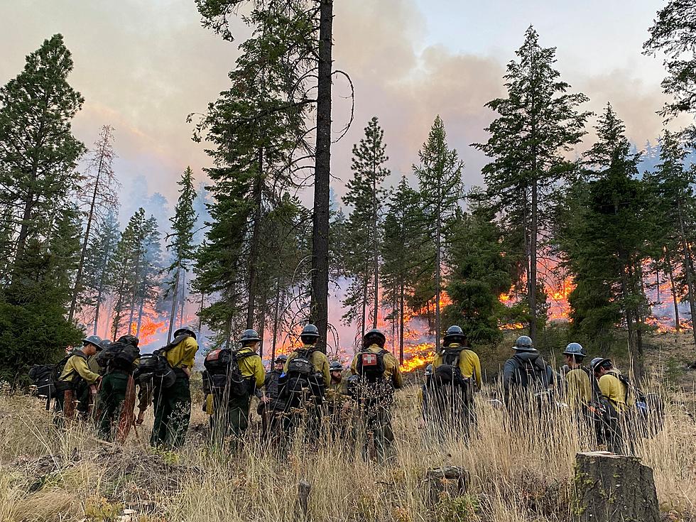
More growth in the Schneider Springs fire over the weekend as firefighters work to build containment lines.
MORE FIRE GROWTH OVER THE WEEKEND
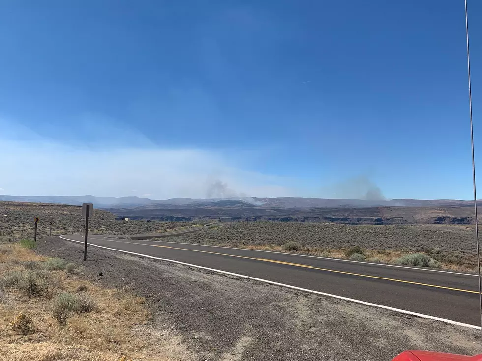
Officials with the Okanogan-Wenatchee National Forest say the fire grew from 75,055 acres Friday to 80,841. The fire is still at 8 percent containment. They say "in the next several days, firefighters will continue to implement the strategy to contain the southern fire perimeter from Bethel Ridge to the William O. Douglas wilderness boundary on the Okanogan-Wenatchee National Forest. The surge resources remain on the fire today to hold and secure the containment lines along Malloy Road and Bethel Ridge from the firing operation of the past few days."
Forest officials say the “National Weather Service has issued a Red Flag Warning for gusty northwest winds and low relative humidity through 11:00PM on the eastern half of the fire area, although the Incident Meteorologist is also forecasting higher-than-normal winds for the entire fire area.
Several crews and engines that have completed their structure protection work along Highway 410 north of the fire area will be shifting to assist firefighters and engines holding and securing fire lines on Bethel Ridge. Aerial resources will be able to assist in holding and securing containment lines as conditions allow.”
MORE PEOPLE ARRIVE ON THE FIRE LINES EVERYDAY
759 people and resources are working the fire with 18 hand crews, 50 engines, 7 dozers, 6 aircraft and 24 other pieces of heavy equipment. Fire officials say don’t even think about recreating on or near Rimrock lake. According to a Facebook post from the Rimrock cabin owners “campers, boaters, cabin owners, closed is closed and no one except caretakers should be up there. All recreational use and the lake are closed until further notice. The aircraft can’t skim to reload water if they see any watercraft. Please get out of the lake and vacate the area.”
EVACUATION LEVELS HAVE BEEN UPDATED AND LOWERED
Evacuation levels have been updated.
Officials at Yakima Valley Emergency Management say Bumping River Road area is "dropping from a level 3 to a level 2 evacuation (BE SET).
From the intersection of Highway 410 and Highway 12 (the "Y") to Bumping RIver Road is being lowered from a level 2 evacuation to a level 1 (BE READY).
Highway 12 area evacuations levels is remaining at a level 1 evacuation (BE READY).
These evacuation levels pertain to private property owners only, not forest lands use activities or locations."
While firefighters are hoping the fire will be doused sooner than later they are pushing for an October 1 goal of fully containing the fire on that day. Cooler weather
25 True Crime Locations: What Do They Look Like Today?

More From 92.9 The Bull